
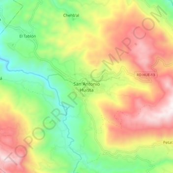
San Antonio Huista topographic map
Interactive map
Click on the map to display elevation.
About this map
Name: San Antonio Huista topographic map, elevation, terrain.
Location: San Antonio Huista, Huehuetenango, Guatemala (15.61017 -91.81170 15.69017 -91.73170)
Average elevation: 1,352 m
Minimum elevation: 779 m
Maximum elevation: 2,045 m