
Make a donation
Gear up for your next adventure:
As an Amazon Associate, this site earns from qualifying purchases at no extra cost to you.
Ried topographic map
Click on the map to display elevation.
Make a donation
Gear up for your next adventure:
As an Amazon Associate, this site earns from qualifying purchases at no extra cost to you.
About this map
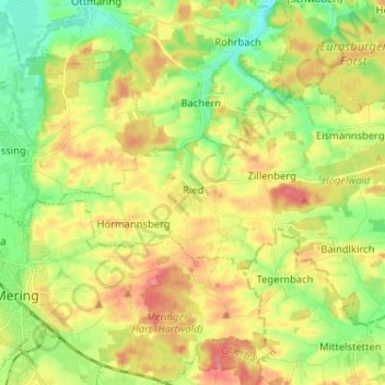
Name: Ried topographic map, elevation, terrain.
Location: Ried, Landkreis Aichach-Friedberg, Bavaria, 86510, Germany (48.25998 10.99783 48.31905 11.12688)
Average elevation: 523 m
Minimum elevation: 483 m
Maximum elevation: 569 m
Make a donation
Gear up for your next adventure:
As an Amazon Associate, this site earns from qualifying purchases at no extra cost to you.
Other topographic maps
Click on a map to view its topography, its elevation and its terrain.
Sankt Stephan
Germany > Bavaria > Landkreis Aichach-Friedberg > Sankt Stephan
Average elevation: 444 m
Make a donation
Gear up for your next adventure:
As an Amazon Associate, this site earns from qualifying purchases at no extra cost to you.