
Arachania topographic map
Interactive map
Click on the map to display elevation.
About this map
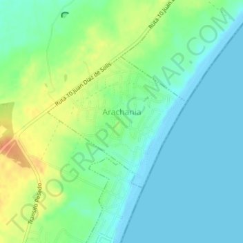
Name: Arachania topographic map, elevation, terrain.
Location: Arachania, Rocha, 27002, Uruguay (-34.62421 -54.16259 -34.60949 -54.14358)
Average elevation: 13 m
Minimum elevation: -1 m
Maximum elevation: 40 m