
Vizcainos topographic map
Interactive map
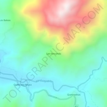
Click on the map to display elevation.
About this map
Name: Vizcainos topographic map, elevation, terrain.
Location: San Fernando, Vizcainos, Landázuri, Vélez, Santander, Colombia (6.25342 -73.89095 6.29342 -73.85095)
Average elevation: 566 m
Minimum elevation: 220 m
Maximum elevation: 1,309 m