
Longana topographic map
Interactive map
Click on the map to display elevation.
About this map
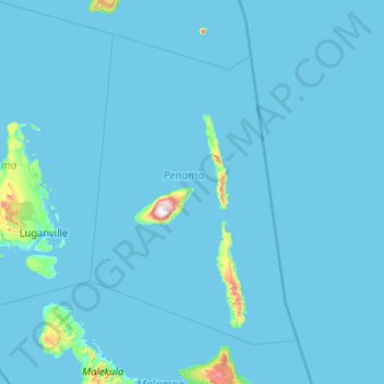
Name: Longana topographic map, elevation, terrain.
Location: Longana, Lovatumemea, Penama, Vanuatu (-16.29677 166.98199 -14.29677 168.98199)
Average elevation: 24 m
Minimum elevation: 0 m
Maximum elevation: 1,437 m