

Alpine topographic map
Click on the map to display elevation.
Alpine
Located approximately 75 miles south of the Navajo Nation, Alpine was settled in 1876 by Anderson Bush, a European-American who built a log house there. He originally used it as a trading post known as "Fort Bush". Bush sold his holdings in 1879 to William Maxwell and Fred Hamblin, Mormon settlers who established the town as a Mormon community. They named the community for its lofty elevation. Alpine has been affected by the Wallow Fire, the largest wildfire in Arizona's history, which entered New Mexico, burning 538,049 acres in 2011.
About this map
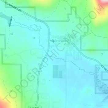
Name: Alpine topographic map, elevation, terrain.
Location: Alpine, Apache County, Arizona, United States (33.83999 -109.15000 33.85000 -109.14000)
Average elevation: 2,465 m
Minimum elevation: 2,413 m
Maximum elevation: 2,698 m