
Lima topographic map
Interactive map
Click on the map to display elevation.
About this map
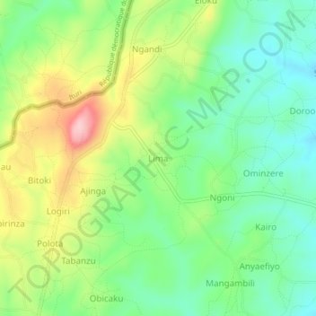
Name: Lima topographic map, elevation, terrain.
Location: Lima, Arua, Northern Region, Uganda (2.74387 30.84486 2.78387 30.88486)
Average elevation: 1,449 m
Minimum elevation: 1,376 m
Maximum elevation: 1,573 m