
Tunja topographic map
Interactive map
Click on the map to display elevation.
About this map
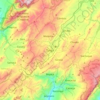
Name: Tunja topographic map, elevation, terrain.
Location: Tunja, Centro, Boyacá, 150001, Colombia (5.37243 -73.52160 5.69243 -73.20160)
Average elevation: 2,824 m
Minimum elevation: 2,053 m
Maximum elevation: 3,790 m