
Wateree topographic map
Interactive map
Click on the map to display elevation.
About this map
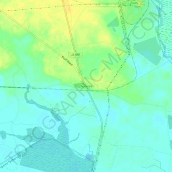
Name: Wateree topographic map, elevation, terrain.
Location: Wateree, Richland County, South Carolina, USA (33.78710 -80.65731 33.82710 -80.61731)
Average elevation: 33 m
Minimum elevation: 24 m
Maximum elevation: 47 m