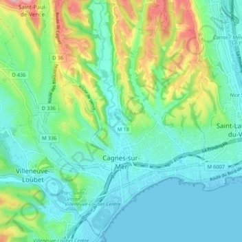
Cagnes-sur-Mer topographic map
Interactive map
Click on the map to display elevation.
About this map
Name: Cagnes-sur-Mer topographic map, elevation, terrain.
Average elevation: 57 m
Minimum elevation: -1 m
Maximum elevation: 226 m

Click on the map to display elevation.
Name: Cagnes-sur-Mer topographic map, elevation, terrain.
Average elevation: 57 m
Minimum elevation: -1 m
Maximum elevation: 226 m