
Puerto Oscuro topographic map
Interactive map
Click on the map to display elevation.
About this map
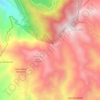
Name: Puerto Oscuro topographic map, elevation, terrain.
Location: Puerto Oscuro, Pedro Ascencio Alquisiras, Guerrero, México (18.60743 -99.81542 18.64743 -99.77542)
Average elevation: 2,359 m
Minimum elevation: 1,706 m
Maximum elevation: 2,704 m