
Bischofsheim in der Rhön topographic map
Interactive map
Click on the map to display elevation.
About this map
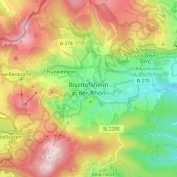
Name: Bischofsheim in der Rhön topographic map, elevation, terrain.
Average elevation: 609 m
Minimum elevation: 361 m
Maximum elevation: 928 m