Geolocate

Spring Hill topographic map

Click on the map to display elevation.

About this map

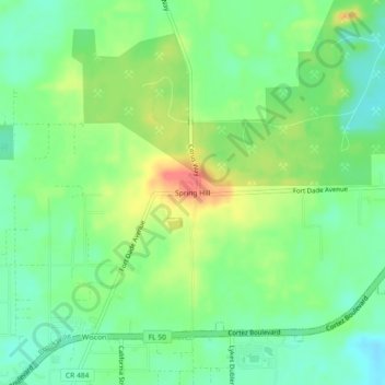
Name: Spring Hill topographic map, elevation, terrain.

Location: Spring Hill, Hernando County, Florida, 34603, USA (28.53583 -82.47037 28.57583 -82.43037)

Average elevation: 35 m

Minimum elevation: 12 m

Maximum elevation: 72 m

Gear up for your next adventure:

🦯Trekking Poles - Walking poles for hiking stability
📦Crushproof Equipment Cases - Safe transport for sensitive surveying and mapping instruments
🏕️Camping Gear - Essential camping equipment
🧰Survival Kits - Essential survival gear
🧼Biodegradable Outdoor Soap - Clean gear and yourself without harming the local ecosystem

As an Amazon Associate, this site earns from qualifying purchases at no extra cost to you.