
Lessen topographic map
Interactive map
Click on the map to display elevation.
About this map
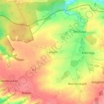
Name: Lessen topographic map, elevation, terrain.
Location: Lessen, Gera, Thuringe, 07552, Allemagne (50.93838 12.04933 50.97838 12.08933)
Average elevation: 284 m
Minimum elevation: 234 m
Maximum elevation: 320 m