
Pudá topographic map
Interactive map
Click on the map to display elevation.
About this map
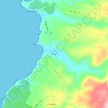
Name: Pudá topographic map, elevation, terrain.
Location: Pudá, Provincia de Concepción, Región del Biobío, Chile (-36.51863 -72.92185 -36.47863 -72.88185)
Average elevation: 83 m
Minimum elevation: 0 m
Maximum elevation: 303 m