
Opal topographic map
Interactive map
Click on the map to display elevation.
About this map
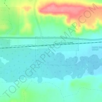
Name: Opal topographic map, elevation, terrain.
Location: Opal, Lincoln County, Wyoming, United States (41.76420 -110.33155 41.77177 -110.31617)
Average elevation: 2,048 m
Minimum elevation: 2,023 m
Maximum elevation: 2,111 m
Other topographic maps
Click on a map to view its topography, its elevation and its terrain.
Rocky Crossing
United States > Wyoming > Lincoln County > Rocky Crossing
Rocky Crossing, Lincoln County, Wyoming, United States
Average elevation: 1,945 m