
Röros topographic map
Interactive map
Click on the map to display elevation.
About this map
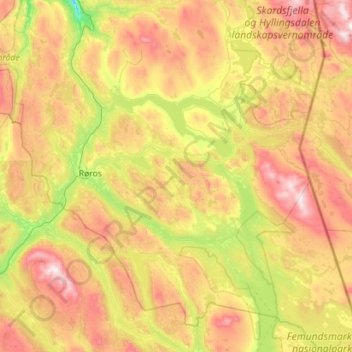
Name: Röros topographic map, elevation, terrain.
Location: Röros, Tröndelag, Norwegen (62.30989 11.12454 62.82916 12.25467)
Average elevation: 833 m
Minimum elevation: 396 m
Maximum elevation: 1,544 m