
Muriyad-Moorkanal Canal topographic map
Interactive map
Click on the map to display elevation.
About this map
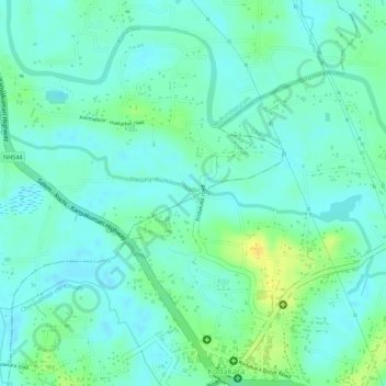
Name: Muriyad-Moorkanal Canal topographic map, elevation, terrain.
Location: Muriyad-Moorkanal Canal, Thrissur, Kerala, 680312, India (10.38000 76.28870 10.38832 76.31443)
Average elevation: 9 m
Minimum elevation: 0 m
Maximum elevation: 28 m
Other topographic maps
Click on a map to view its topography, its elevation and its terrain.
Padinjare Chira
Padinjare Chira, West Fort, Punkunnam, Thrissur, Kerala, India
Average elevation: 13 m