
옥련동 topographic map
Interactive map
Click on the map to display elevation.
About this map
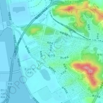
Name: 옥련동 topographic map, elevation, terrain.
Location: 옥련동, 연수구, Incheon, Corea del Sur (37.41290 126.63466 37.43568 126.66137)
Average elevation: 27 m
Minimum elevation: -3 m
Maximum elevation: 156 m