
Burdett topographic map
Interactive map
Click on the map to display elevation.
About this map
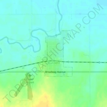
Name: Burdett topographic map, elevation, terrain.
Location: Burdett, Pawnee County, Kansas, 67523, United States (38.18845 -99.53036 38.20011 -99.52083)
Average elevation: 646 m
Minimum elevation: 638 m
Maximum elevation: 662 m