
Madison Heights topographic map
Interactive map
Click on the map to display elevation.
About this map
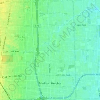
Name: Madison Heights topographic map, elevation, terrain.
Location: Madison Heights, Oakland County, Michigan, 48071, USA (42.47602 -83.12638 42.53479 -83.08452)
Average elevation: 196 m
Minimum elevation: 189 m
Maximum elevation: 206 m