
Tasang topographic map
Interactive map
Click on the map to display elevation.
About this map
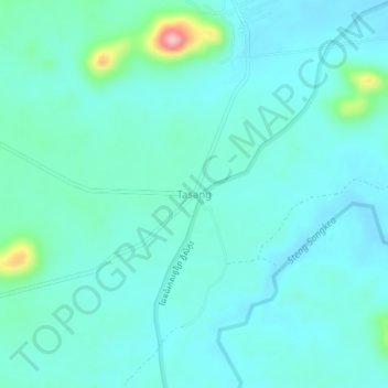
Name: Tasang topographic map, elevation, terrain.
Location: Tasang, សំពៅលូន, ខេត្តបាត់ដំបង, Kambodscha (12.57821 102.83393 12.61821 102.87393)
Average elevation: 129 m
Minimum elevation: 102 m
Maximum elevation: 273 m