
La Maná topographic map
Interactive map
Click on the map to display elevation.
About this map
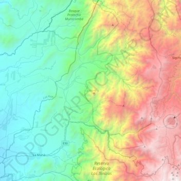
Name: La Maná topographic map, elevation, terrain.
Location: La Maná, Cotopaxi, 050202, Équateur (-1.00423 -79.32003 -0.56474 -78.98692)
Average elevation: 1,482 m
Minimum elevation: 117 m
Maximum elevation: 4,394 m