
Cela topographic map
Interactive map
Click on the map to display elevation.
About this map
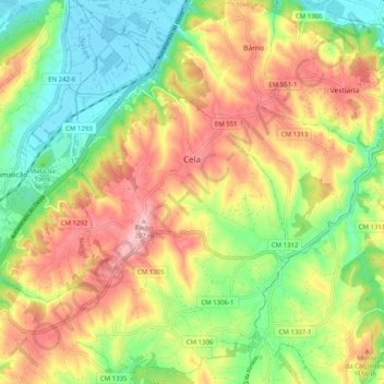
Name: Cela topographic map, elevation, terrain.
Location: Cela, Alcobaça, Leiria, Oeste, Centro, Portugal (39.49448 -9.07068 39.57183 -9.01078)
Average elevation: 97 m
Minimum elevation: -1 m
Maximum elevation: 211 m