Geolocate

Gonzalez topographic map

Click on the map to display elevation.

About this map

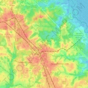
Name: Gonzalez topographic map, elevation, terrain.

Location: Gonzalez, Escambia County, Florida, 32560, United States (30.54748 -87.32608 30.62685 -87.25722)

Average elevation: 28 m

Minimum elevation: 2 m

Maximum elevation: 53 m

Gear up for your next adventure:

🧦Hiking Socks - Comfortable socks for long hikes
📡Portable Emergency Radios - Stay informed about weather warnings and bushfire alerts
🦯Adjustable Trekking Poles - Reduce impact on knees when descending steep topographic ridges
🛌Sleeping Bags - Sleeping bags for outdoor camping
🚁Camera Drones with GPS - Capture aerial views of the landscape to compare with topo maps

As an Amazon Associate, this site earns from qualifying purchases at no extra cost to you.