
Mekarsari topographic map
Interactive map
Click on the map to display elevation.
About this map
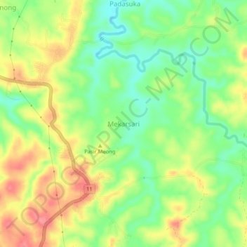
Name: Mekarsari topographic map, elevation, terrain.
Location: Mekarsari, Lebak, Banten, Indonesia (-6.43871 106.32943 -6.39871 106.36943)
Average elevation: 78 m
Minimum elevation: 41 m
Maximum elevation: 119 m