Geolocate

Lohof topographic map

Click on the map to display elevation.

About this map

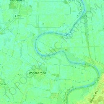
Name: Lohof topographic map, elevation, terrain.

Location: Lohof, Dörverden, Landkreis Verden, Niedersachsen, Deutschland (52.83612 9.17077 52.87612 9.21077)

Average elevation: 16 m

Minimum elevation: 10 m

Maximum elevation: 22 m

Gear up for your next adventure:

🪢550 Survival Paracord - Versatile cordage for gear repair and emergency lashing
🧺Waterproof Dry Sacks - Organize your pack and keep electronics safe from rain and river crossings
🧦Merino Wool Hiking Socks - Moisture-wicking socks to prevent blisters during long topographic surveys
🦟Insect Repellent - Protection against insects
🖼️Scratch-off Australia Map - Track the regions and peaks you have explored geographically

As an Amazon Associate, this site earns from qualifying purchases at no extra cost to you.