
لالة topographic map
Interactive map
Click on the map to display elevation.
About this map
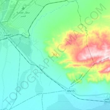
Name: لالة topographic map, elevation, terrain.
Location: لالة, القصر, Gafsa, Tunisia (34.32541 8.80619 34.43122 8.90597)
Average elevation: 348 m
Minimum elevation: 218 m
Maximum elevation: 816 m