
Lottert topographic map
Interactive map
Click on the map to display elevation.
About this map
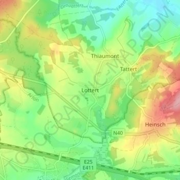
Name: Lottert topographic map, elevation, terrain.
Location: Lottert, Attert, Arlon, Luxembourg, Wallonie, 6717, Belgique (49.68839 5.70403 49.72839 5.74403)
Average elevation: 365 m
Minimum elevation: 315 m
Maximum elevation: 441 m