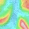
Place Fell topographic map
Click on the map to display elevation.
Place Fell
Place Fell can be climbed from Patterdale, either via Boredale Hause or more directly by aiming up the face between Bleaberry Knott and The Knight. Ascents can also be made from Sandwick up either of the north eastern ridges, or from Boredale via the Hause. The altitude gain from the shores of Ullswater to the peak of Place Fell is 512 m (1,680 ft), but trails have shallow gradients and no hands-on scrambling is required; scrambling opportunities are few, even off-trail.
About this map
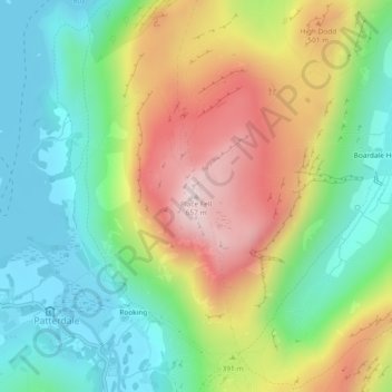
Name: Place Fell topographic map, elevation, terrain.
Average elevation: 341 m
Minimum elevation: 145 m
Maximum elevation: 653 m
Other topographic maps
Click on a map to view its topography, its elevation and its terrain.
Brown Cove Tarn
United Kingdom > England > Westmorland and Furness > Patterdale
Average elevation: 699 m
Brothers Water
United Kingdom > England > Westmorland and Furness > Patterdale > Hartsop
Average elevation: 298 m