
Ngatimoti topographic map
Interactive map
Click on the map to display elevation.
About this map
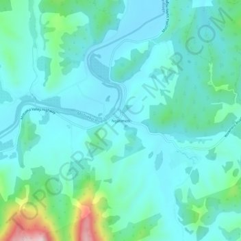
Name: Ngatimoti topographic map, elevation, terrain.
Location: Ngatimoti, Tasman, 7196, New Zealand (-41.22194 172.86758 -41.18194 172.90758)
Average elevation: 103 m
Minimum elevation: 39 m
Maximum elevation: 405 m