
Losa topographic map
Interactive map
Click on the map to display elevation.
About this map
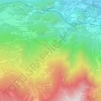
Name: Losa topographic map, elevation, terrain.
Location: Losa, Gravere, Torino, Piemont, 10059, Italy (45.09440 7.01516 45.13440 7.05516)
Average elevation: 1,112 m
Minimum elevation: 482 m
Maximum elevation: 2,048 m