
Algorta topographic map
Interactive map
Click on the map to display elevation.
About this map
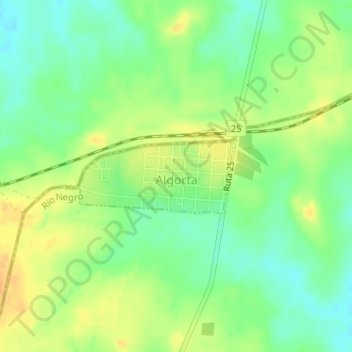
Name: Algorta topographic map, elevation, terrain.
Location: Algorta, Río Negro, 60002, Uruguay (-32.42570 -57.40149 -32.42001 -57.38723)
Average elevation: 113 m
Minimum elevation: 96 m
Maximum elevation: 130 m