
Thank you for supporting this site ❤️
Make a donation
Make a donation
Gear up for your next adventure:
As an Amazon Associate, this site earns from qualifying purchases at no extra cost to you.
Koubru topographic map
Click on the map to display elevation.
Thank you for supporting this site ❤️
Make a donation
Make a donation
Gear up for your next adventure:
As an Amazon Associate, this site earns from qualifying purchases at no extra cost to you.
About this map
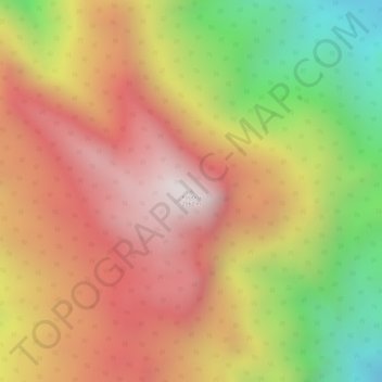
Name: Koubru topographic map, elevation, terrain.
Location: Koubru, Saitu-Gamphazol, Kangpokpi, Manipur, India (25.06300 93.87160 25.06310 93.87170)
Average elevation: 2,146 m
Minimum elevation: 1,579 m
Maximum elevation: 2,540 m
Thank you for supporting this site ❤️
Make a donation
Make a donation
Gear up for your next adventure:
As an Amazon Associate, this site earns from qualifying purchases at no extra cost to you.