
Alles topographic map
Interactive map
Click on the map to display elevation.
About this map
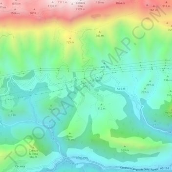
Name: Alles topographic map, elevation, terrain.
Location: Alles, Peñamellera Alta, Asturien, 33578, Spanien (43.31454 -4.72703 43.35454 -4.68703)
Average elevation: 389 m
Minimum elevation: 58 m
Maximum elevation: 1,161 m