
南戴河街道 topographic map
Interactive map
Click on the map to display elevation.
About this map
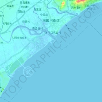
Name: 南戴河街道 topographic map, elevation, terrain.
Location: 南戴河街道, 抚宁区, 秦皇岛市, Hebei, China (39.71580 119.33944 39.81642 119.45996)
Average elevation: 2 m
Minimum elevation: -3 m
Maximum elevation: 73 m