
Hever topographic map
Interactive map
Click on the map to display elevation.
About this map
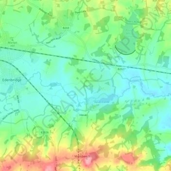
Name: Hever topographic map, elevation, terrain.
Location: Hever, Sevenoaks, Kent, Engeland, Verenigd Koninkrijk (51.15976 0.08236 51.22722 0.12621)
Average elevation: 65 m
Minimum elevation: 30 m
Maximum elevation: 149 m