
Cataract topographic map
Interactive map
Click on the map to display elevation.
About this map
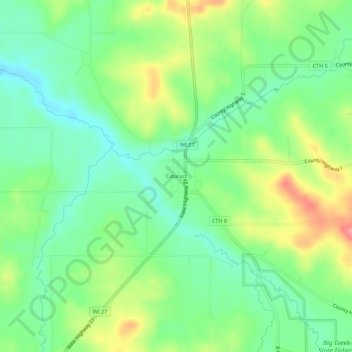
Name: Cataract topographic map, elevation, terrain.
Location: Cataract, Monroe County, Wisconsin, USA (44.06774 -90.86236 44.10774 -90.82236)
Average elevation: 267 m
Minimum elevation: 233 m
Maximum elevation: 324 m