
Domaine-Ouellet topographic map
Interactive map
Click on the map to display elevation.
About this map
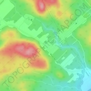
Name: Domaine-Ouellet topographic map, elevation, terrain.
Average elevation: 190 m
Minimum elevation: 139 m
Maximum elevation: 261 m
Other topographic maps
Click on a map to view its topography, its elevation and its terrain.
Lac du Barrage
Canada > Québec > Maskinongé (MRC) > Saint-Élie-de-Caxton
Lac du Barrage, Saint-Élie-de-Caxton, Maskinongé (MRC), Mauricie, Québec, Canada
Average elevation: 195 m