
Ismael Cortinas topographic map
Interactive map
Click on the map to display elevation.
About this map
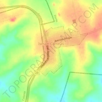
Name: Ismael Cortinas topographic map, elevation, terrain.
Location: Ismael Cortinas, Flores, 85001, Uruguay (-33.96885 -57.09595 -33.95556 -57.07871)
Average elevation: 176 m
Minimum elevation: 147 m
Maximum elevation: 198 m