
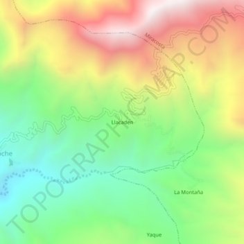
Llacaden topographic map
Interactive map
Click on the map to display elevation.
About this map
Name: Llacaden topographic map, elevation, terrain.
Location: Llacaden, Tocmoche, Chota, Cajamarca, Perú (-6.42781 -79.36000 -6.38781 -79.32000)
Average elevation: 1,720 m
Minimum elevation: 1,174 m
Maximum elevation: 2,453 m