Langtang Ri topographic map
Interactive map
Click on the map to display elevation.
About this map
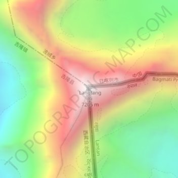
Name: Langtang Ri topographic map, elevation, terrain.
Average elevation: 6,251 m
Minimum elevation: 5,448 m
Maximum elevation: 7,180 m

Click on the map to display elevation.
Name: Langtang Ri topographic map, elevation, terrain.
Average elevation: 6,251 m
Minimum elevation: 5,448 m
Maximum elevation: 7,180 m