
Hovells Creek topographic map
Interactive map
Click on the map to display elevation.
About this map
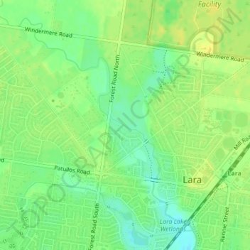
Name: Hovells Creek topographic map, elevation, terrain.
Average elevation: 15 m
Minimum elevation: 3 m
Maximum elevation: 24 m
Other topographic maps
Click on a map to view its topography, its elevation and its terrain.
You Yangs Regional Park
You Yangs Regional Park, Lara, City of Greater Geelong, Victoria, 3212, Australia
Average elevation: 97 m