
Kyenda topographic map
Interactive map
Click on the map to display elevation.
About this map
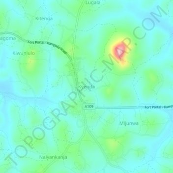
Name: Kyenda topographic map, elevation, terrain.
Location: Kyenda, Mubende, Central Region, Uganda (0.48085 31.48985 0.52085 31.52985)
Average elevation: 1,272 m
Minimum elevation: 1,235 m
Maximum elevation: 1,423 m
Other topographic maps
Click on a map to view its topography, its elevation and its terrain.