
Baruntse topographic map
Interactive map
Click on the map to display elevation.
About this map
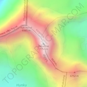
Name: Baruntse topographic map, elevation, terrain.
Location: Baruntse, Makalu, सङ्खुवासभा, Province n°1, Népal (27.87201 86.97960 27.87211 86.97970)
Average elevation: 6,237 m
Minimum elevation: 5,380 m
Maximum elevation: 7,135 m