
Rukuba topographic map
Interactive map
Click on the map to display elevation.
About this map
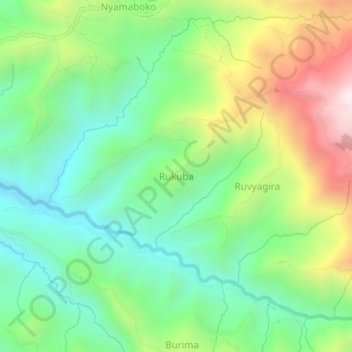
Name: Rukuba topographic map, elevation, terrain.
Location: Rukuba, Bujumbura Rural Province, Burundi (-3.49612 29.38379 -3.45612 29.42379)
Average elevation: 1,288 m
Minimum elevation: 940 m
Maximum elevation: 1,921 m