Penaros Créac'h Ar Zant topographic map
Interactive map
Click on the map to display elevation.
About this map
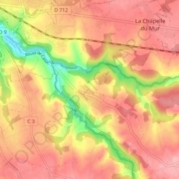
Name: Penaros Créac'h Ar Zant topographic map, elevation, terrain.
Average elevation: 91 m
Minimum elevation: 12 m
Maximum elevation: 133 m

Click on the map to display elevation.
Name: Penaros Créac'h Ar Zant topographic map, elevation, terrain.
Average elevation: 91 m
Minimum elevation: 12 m
Maximum elevation: 133 m