Geolocate

Aurai topographic map

Click on the map to display elevation.

About this map
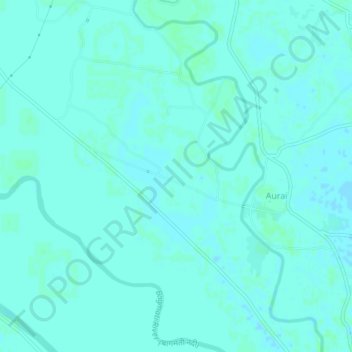
Name: Aurai topographic map, elevation, terrain.

Location: Aurai, Auraiy, Muzaffarpur, Bihar, 843312, India (26.29727 85.54362 26.33727 85.58362)

Average elevation: 55 m

Minimum elevation: 52 m

Maximum elevation: 58 m

Gear up for your next adventure:

📍Handheld GPS - GPS devices for hiking and navigation
📕Australia Maps - Maps covering Australian regions
👄SPF Lip Balm - Prevent sun and wind-burnt lips on mountain ridges
⌚GPS Watches - GPS watches for outdoor sports
🥾Hiking Boots - Durable hiking boots for trails and rough terrain

As an Amazon Associate, this site earns from qualifying purchases at no extra cost to you.