
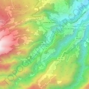
Fajã das Murtas topographic map
Interactive map
Click on the map to display elevation.
About this map
Name: Fajã das Murtas topographic map, elevation, terrain.
Location: Fajã das Murtas, Faial, Santana, Madeira, 9230-201, Portugal (32.74329 -16.89692 32.78329 -16.85692)
Average elevation: 549 m
Minimum elevation: 42 m
Maximum elevation: 1,235 m