
Reutehöfe topographic map
Interactive map
Click on the map to display elevation.
About this map
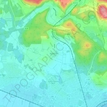
Name: Reutehöfe topographic map, elevation, terrain.
Average elevation: 426 m
Minimum elevation: 394 m
Maximum elevation: 534 m
Other topographic maps
Click on a map to view its topography, its elevation and its terrain.
Stahringen
Deutschland > Baden-Württemberg > Landkreis Konstanz > Radolfzell am Bodensee > Stahringen
Stahringen, Radolfzell am Bodensee, Landkreis Konstanz, Baden-Württemberg, 78315, Deutschland
Average elevation: 500 m